
Discover woodland cascades, limestone gorges and dramatic fellside falls on these waterfall walks across Yorkshire.
You don’t have to climb a mountain to find a spectacular waterfall in Yorkshire – but you can if you fancy it. These walks range from shorter woodland routes to demanding days out on the fells, with stops at the likes of Janet’s Foss, Hardraw Force and Cautley Spout.
We’ve included distances, estimated walking times and links to the full routes to help you plan your day. Most are in Yorkshire, with Cautley Spout just over the border in Cumbria, within the Yorkshire Dales National Park. Looking for the falls themselves? Explore our guide to waterfalls in Yorkshire.
Quick picks: Waterfall walks in Yorkshire
Hawes to Hardraw Force Circular

A market town, open countryside and one of Yorkshire’s most impressive waterfalls – this 4.25-mile circular packs plenty into an afternoon. Starting in Hawes, you’ll follow the Pennine Way towards Hardraw, crossing the River Ure as you make your way through Wensleydale.
Hardraw Force is the headline attraction, with water plunging around 100 feet over a rocky overhang. You might recognise it from Robin Hood: Prince of Thieves, but it’s even more impressive in person. The waterfall is on private land, with a small admission fee and access beside the Green Dragon Inn, so check opening hours before setting off.
Start point: Yorkshire Dales National Park Centre, Hawes – find it on Google Maps.
Distance: 4.25 miles (2-3 hours).
Difficulty: Moderate.
Route: Check out the route.
Aysgarth Falls Circular

You don’t need to tackle a lengthy hike to see some of Yorkshire’s finest waterfalls. This 2.2-mile circular starts at Aysgarth Falls National Park Centre, taking you through Freeholders Wood and across fields before returning alongside the River Ure. There are views across Wensleydale along the way, with woodland flowers adding colour in spring.
The route visits Lower, Middle and Upper Falls, where the river tumbles over a series of broad limestone steps. Each offers a different perspective, so allow time to stop at each of the viewpoints rather than rushing between them. It’s a relatively easy walk, although steps and uneven ground mean it won’t suit every walker.
Start point: Aysgarth Falls National Park Centre – find it on Google Maps.
Distance: 2.2 miles (1-2 hours).
Difficulty: Easy.
Route: Check out the route.
Goit Stock Waterfall and Harden Valley Walk

Make a day of it on this 10.7-mile circular from Bingley Railway Station. You’ll pass through Myrtle Park before heading into the Harden Valley, where woodland paths eventually lead you to Goit Stock Waterfall. Framed by mossy rocks and tangled tree roots, this West Yorkshire cascade is a rewarding stop on a much bigger walk.
There’s plenty more to come, including Hewenden Viaduct, Cullingworth and the woodland of the St Ives Estate before you return to Bingley. Don’t mistake this for a gentle stroll to the falls – steep climbs, busy road crossings and sections of moorland make it a demanding route. Download the full directions and carry a suitable map.
Start point: Bingley Railway Station – find it on Google Maps.
Distance: 10.7 miles (5-6 hours).
Difficulty: Hard.
Route: Check out the route.
Whernside from Ribblehead Circular

A waterfall, a famous viaduct and the highest of the Yorkshire Three Peaks make this a walk with plenty to aim for. Starting near Ribblehead Viaduct, the circular route follows the railway towards Blea Moor before climbing onto Whernside. Look out for Force Gill waterfall along the ascent, with the surrounding hills opening up as you gain height.
The summit ridge is the reward for a long, steady climb, with panoramic views on a clear day. You’ll then tackle a steeper descent before crossing fields and returning beneath the viaduct’s towering arches. This is an exposed hill walk, so come prepared for changing weather and allow a full day to enjoy it.
Start point: Ribblehead, near the Ribblehead Viaduct – find it on Google Maps.
Distance: Around 7.5 miles (4-5 hours).
Difficulty: Challenging, with a long ascent and steep descent.
Route: Check out the route.
Haworth, Brontë Waterfall and Top Withens Circular

Combine a waterfall walk with a journey through Brontë Country on this seven-mile circular from Haworth. You’ll leave the village behind for the open moorland around Penistone Hill, continuing towards Brontë Waterfall and the isolated ruins of Top Withens. The changing scenery is a big part of the appeal, from sheltered streams to wide moorland views.
The waterfall is a lovely place to pause, with water spilling over rocky steps beside Brontë Bridge. Its appearance depends on the weather – expect a livelier cascade after rain and a much gentler flow during dry spells. Beyond the falls, the longer route crosses exposed ground, so take waterproofs and footwear that can handle muddy paths.
Start point: St Michael & All Angels Church, Haworth – find it on Google Maps.
Distance: 7 miles (4-5 hours).
Difficulty: Moderate.
Route: Check out the route.
Cautley Spout and The Calf Circular

Just over the border in Cumbria, but within the Yorkshire Dales National Park, this 5.9-mile circular is one for walkers who enjoy a climb. Starting at Low Haygarth, near the Cross Keys Temperance Inn, you’ll approach Cautley Spout through a broad valley before taking the steep path beside its tumbling cascades.
Continue your climb towards The Calf, the highest point in the Howgill Fells, where open views stretch across the surrounding hills. There’s around 526 metres of ascent across the route, so don’t let the relatively short distance fool you. Allow three to four hours, plus stops, and be ready for exposed ground and changing conditions higher up.
Start point: Low Haygarth, near the Cross Keys Temperance Inn – find it on Google Maps.
Distance: 5.9 miles (3-4 hours).
Difficulty: Hard.
Route: Check out the route.
Ingleton Waterfalls Trail
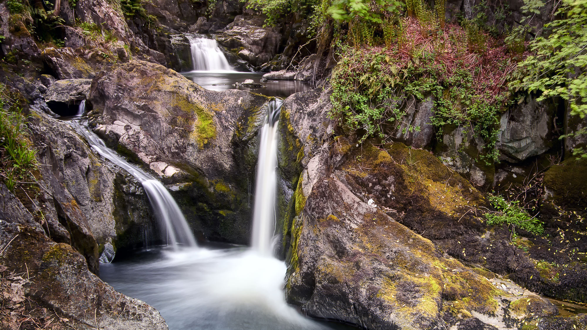
Why stop at one waterfall when you can spend an afternoon discovering a whole series? This 4.5-mile circular from Ingleton follows the Rivers Twiss and Doe through wooded valleys, with stone steps, bridges and viewpoints bringing you close to the cascades. Pecca Falls, Hollybush Spout and Thornton Force are among the highlights on the first part of the trail.
The route then crosses more open countryside before descending towards Beezley Falls and Baxenghyll Gorge. It’s a well-defined, one-way trail, but the numerous steps and changes in height make it more demanding than a riverside stroll. Admission is charged, and seasonal last entry times apply – allow around two and a half to four hours to complete the circuit.
Start point: Ingleton Waterfalls Trail entrance, Broadwood – find it on Google Maps.
Distance: 4.5 miles (2.5-4 hours).
Difficulty: Moderate.
Route: Check out the route.
Catrigg Force Circular

Hidden in a wooded gorge above Stainforth, Catrigg Force is the highlight of this short Yorkshire Dales circular. Starting in the village, you’ll climb towards the waterfall, where Stainforth Beck drops into a secluded rocky hollow. It’s a peaceful place to stop, with the sound of water carrying through the trees.
The 2.4-mile route continues across Winskill, passing limestone outcrops and opening up views of the surrounding Dales before returning above Stainforth Scar. It’s a shorter option rather than a flat one, with around 160 metres of climbing. Take particular care on the approach to the waterfall, where the ground can be slippery.
Start point: Craven Heifer, Stainforth – find it on Google Maps.
Distance: 2.4 miles (1-2 hours).
Difficulty: Easy.
Route: Check out the route.
Malham to Janet’s Foss

For a shorter waterfall walk with plenty of scenery, follow the three-mile route from Malham to Janet’s Foss. Starting at the National Park Centre car park, you’ll take gravel and stone-flagged paths through fields before entering woodland beside Gordale Beck. The path becomes rougher here, with rocky steps leading towards the falls.
Janet’s Foss spills over a limestone ledge into a pool surrounded by trees. According to local folklore, Janet, Queen of the Fairies, lives in a cave behind the waterfall – a fitting story for this atmospheric spot. Allow around two hours for the walk, with time to enjoy the falls, and take care on the uneven paths when they’re wet.
Start point: Malham National Park Centre car park – find it on Google Maps.
Distance: 3 miles (2 hours).
Difficulty: Moderate.
Route: Check out the route.
May Beck and Falling Foss Circular

Woodland paths, a waterfall and the prospect of tea and cake make this two-mile circular a tempting option near Whitby. Starting at May Beck Car Park, you’ll head through the trees towards Midge Hall, the former gamekeeper’s cottage that’s home to Falling Foss Tea Garden. Check its seasonal opening before counting on a refreshment stop.
Nearby, Falling Foss tumbles around 30 feet into a wooded ravine, before the route takes you back alongside May Beck. Allow around an hour and a half for the circuit, which includes uneven, stony paths and some climbs and descents. There are steep drops near the waterfall, so stay on the paths and keep dogs on a short lead.
Start point: May Beck Car Park, Sneaton – find it on Google Maps.
Distance: 2 miles (1.5 hours).
Difficulty: Easy.
Route: Check out the route.


