
Winter’s here, but don’t stay inside – Yorkshire is full of amazing walks that will make going out in the cold well worthwhile.
Waterproofs on, wellies at the ready – it’s time to go on a winter walk across Yorkshire. God’s Own County comes alive at this time of year, with snowy hilltops, frozen lakes and misty vistas. Not only can you see Yorkshire at its most beautiful, but it’s the perfect excuse to stop for a cuppa or pint in one of the region’s finest cafes and pubs.
The Haworth Circular
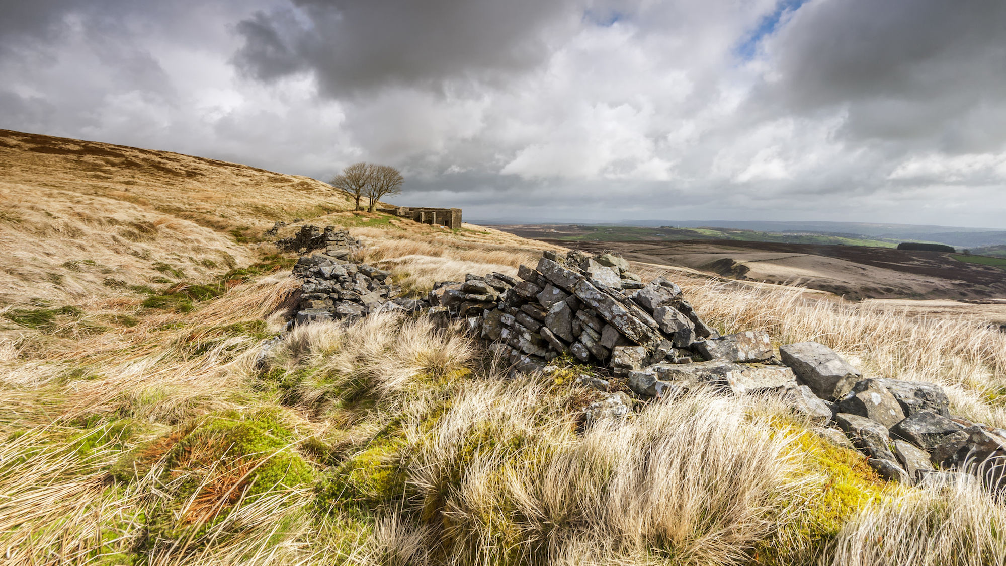
Think of the name Brontë and it conjures up images of wild, wintery countryside beaten by whirling winds. So what better time of year to explore Haworth than in winter? The area is now known as Brontë Country as it inspired much of the family’s work, and you can see some of its biggest landmarks on this 7.5-mile route.
Start at St Michael & All Angels Church and pick up The Brontë Way, which leads you through Penistone Hill Country Park. Along the way, you’ll pass flowing becks and crisp moorland on your way to the Brontë Waterfall.
Once you’ve taken in the sights, walk across to Top Withens, a ruined farmhouse which acted as inspiration for Wuthering Heights, and over to Lower Laithe Reservoir on the path back into Haworth. Take the chance to pop into the Haworth Steam Brewing Co. bar before you leave the village.
Start point: St Michael & All Angels Church – find it on Google Maps.
Distance: 7.5 miles.
Route: Check out the route.
The Railway Trail at Hardcastle Crags

Lose yourself in the stunning frost-tipped valleys around Hebden Bridge with The Railway Trail this winter. It’s a leisurely three-mile walk that won’t take more than two hours, making it a great choice for families. And those riverside views are something else in the winter months.
You’ll kick off your walk at Gibson Mill, before taking a stroll towards Hardcastle Crags as you follow Hebden Beck. You’ll come to the ruins of the Hell Hole Quarry on your way – don’t worry, it’s not as devilish as it sounds.
Your halfway point is when you see the remaining stone stanchions of the long-gone wooden trestle railway bridge, and you come back through Walshaw Wood. This is home to all kinds of wildlife – bring your binoculars. You’ll come full circle, so pop into the Gibson Mill for a warming brew before you head back home.
Start point: Gibson Mill – find it on Google Maps.
Distance: 3 miles.
Route: Check out the route.
The Malham Tarn Circular
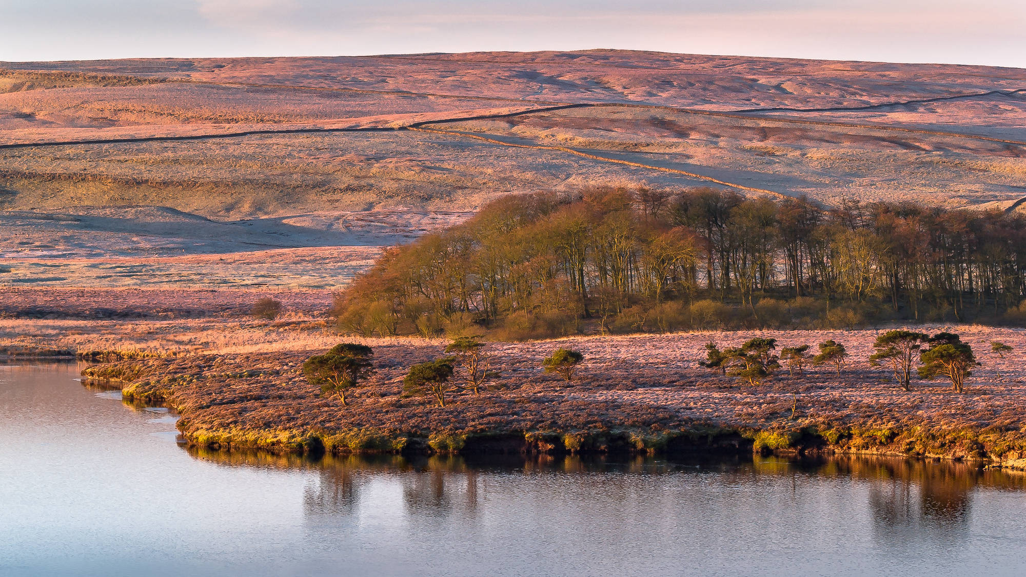
If you’re looking for a long but easygoing winter ramble through the Yorkshire Dales, this is the one to go for. The 11.5-mile route takes you around Malham Tarn and the valley of Littondale, complete with snow-covered hills and picturesque views across the countryside.
You’ll start at Street Gate, just around the corner from Malham Tarn. Walk away from the lake along the limestone tracks before dropping down alongside Cote Gill towards Littondale. Take in the incredible scenery across Hawkswick Clowden before you make your way to Arncliffe, where you’ll find The Falcon Arms – it’s the perfect place to break off for a well-deserved pint.
Join the Monks Road footpath as you head back to the start, stopping at Lee Gate – the high point of your journey, where the snowy hills will come into focus around you. You’ll finish the walk by passing the historic Middle Close Farm and then take a turn around the Tarn itself, England’s highest freshwater lake.
Start point: Street Gate – find it on Google Maps.
Distance: 11.5 miles.
Route: Check out the route.
The Yorkshire Coast Circular

There’s something rather special about a bracing circular walk up the Yorkshire coast in the middle of winter – which is why you should make a beeline for Saltburn-by-the-Sea. It’s a 4.5-mile walk that’s packed full of scenery, landmarks and wildlife you’ll only see at this time of year.
Kick things off in the heart of Old Saltburn, on the pier overlooking the beach. Make sure you’re layered up because it gets very windy, but it’s really rewarding. You’ll get to walk along the Cleveland Way, keeping an eye out for winter wildflowers, rarely-seen seals and Richard Farrington’s Charm Bracelet sculpture.
After you get to the Guibal Fan House, a concrete monument to the area’s industrial past, you’ll reach Warsett Hill, where you can take in the breathtaking vista. Make your way back to town after your two-hour walk, where The Ship Inn will have the fire going ready to warm you up.
Start point: Saltburn Pier – find it on Google Maps.
Distance: 4.5 miles.
Route: Check out the route.
The Yorkshire Matterhorn Circular

Dappled woodlands and heather moorland combine to create a beautiful, wintery spectacle on this seven-mile walk around The Yorkshire Matterhorn – and it’s an absolute must during winter. Expect major landmarks and impressive views, but be warned, there’s a big climb ahead of you.
You’ll start in the quaint village of Great Ayton and take Newton Road to the single track that takes you through the fields and up the steep ascent to the star attraction of this walk, Roseberry Topping. You’ll enjoy incredible views in every direction, so take a moment to look out over the frosty, sometimes snowy, valleys below.
Back on the path, you’ll cross Great Ayton Moor to reach the Captain Cook Monument, a homage to the iconic explorer, before you head back to Great Ayton and into The Royal Oak pub for well-deserved refreshments.
Start point: High Green Car Park – find it on Google Maps.
Distance: 7.2 miles.
Route: Check out the route.
Raydale and Semer Water
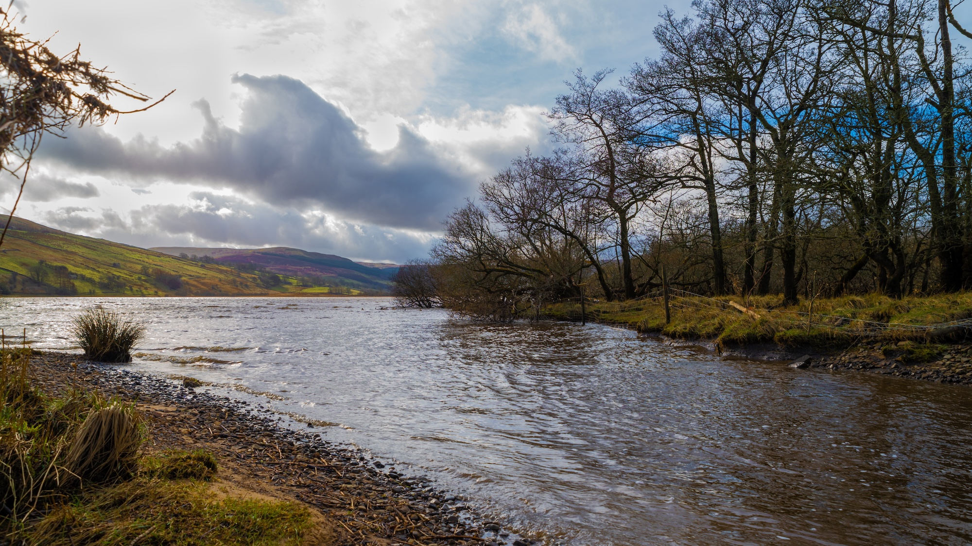
Raydale is something of a hidden gem and it doesn’t get talked about nearly enough – perhaps because of how close it is to its famous neighbour, Wensleydale. At around nine miles long, this walk is an all-day job and one for the more experienced rambler, but it’s well worth it. There’s lots to see along the way, from lakes to Roman roads and snowy moors that really come to life at this time of year.
You’ll start in the village of Bainbridge, and follow the paths up to Worton Pasture with incredible views of the valley surrounding the River Bain. This will lead you to the largest freshwater lake in the Yorkshire Dales National Park, Semer Water. It’s the perfect place to stop and enjoy a mug of tea from your flask, before you head along to the peace and quiet of Raydale, where you can stop for lunch at Raydale Preserves in Stalling Busk.
Cross the moors at Wether Fell, with more beautiful vistas, and join the well-preserved Roman Road which takes you back to Bainbridge. You could even stop for a pint in The Rose and Crown for a few winter warmers.
Start point: School Hill – find it on Google Maps.
Distance: 9.1 miles.
Route: Check out the route.
The Keld and Ravenseat Circular

This 9.5-mile trek across the edge of Swaledale in the Yorkshire Dales brings together beautiful wintery scenery and the highest pub in Great Britain. It kicks off at the famous Tan Hill Inn, which sits 528 metres above sea level and dates back to the 17th century.
Leaving the pub behind for now, you’ll take the moorland road to Nine Standards Rigg, a row of cairns on the edge of an escarpment near Hartley’s Fell. Stop to take in the view below, before you head into the picture-perfect valley along the Pennine Way to the River Swale. You’ll get to see the stunning Keld Waterfalls before passing Ravenseat Farm, which doubles as a cafe for walkers to come in and take a break.
Get on the Coast-to-Coast footpath before you return to the beginning. The Tan Hill Inn is a bucketlist venue, an isolated watering hole surrounded by snowy moors – you can even stay the night if you can’t bear to leave the views behind.
Start point: The Tan Hill Inn – find it on Google Maps.
Distance: 9.5 miles.
Route: Check out the route.
Baildon to Ilkley

These two Yorkshire towns are connected by some of the finest countryside Yorkshire has to offer and it’s a revelation during winter. This route is just under eight miles long, so it should take you four hours from start to finish, but you might want to leave a little more time, as we’ve got a few stops along the way that you won’t want to miss.
Kick things off at Baildon’s Potted Meat Stock landmark and head past the golf course and Faweather Grange to Hawksworth Moor. From here, you’ll be able to see across Wharfedale and over to Otley Chevin, as you join the Ebor Way which leads to The Cow and Calf pub. This is the ideal place for a mid-walk pit stop before you head over to the Stanza Stone and Poetry Seat.
You’ll take on the scenic route into Ilkley where you can recuperate in The Flying Duck or Friends of Ham. Then it’s a quick train back to Baildon in one direction if you’ve driven to the start or straight back to Leeds in the other.
Start point: Potted Meat Stock – find it on Google Maps.
Distance: 8 miles.
Route: Check out the route.
Whernside and Ribblehead Circular
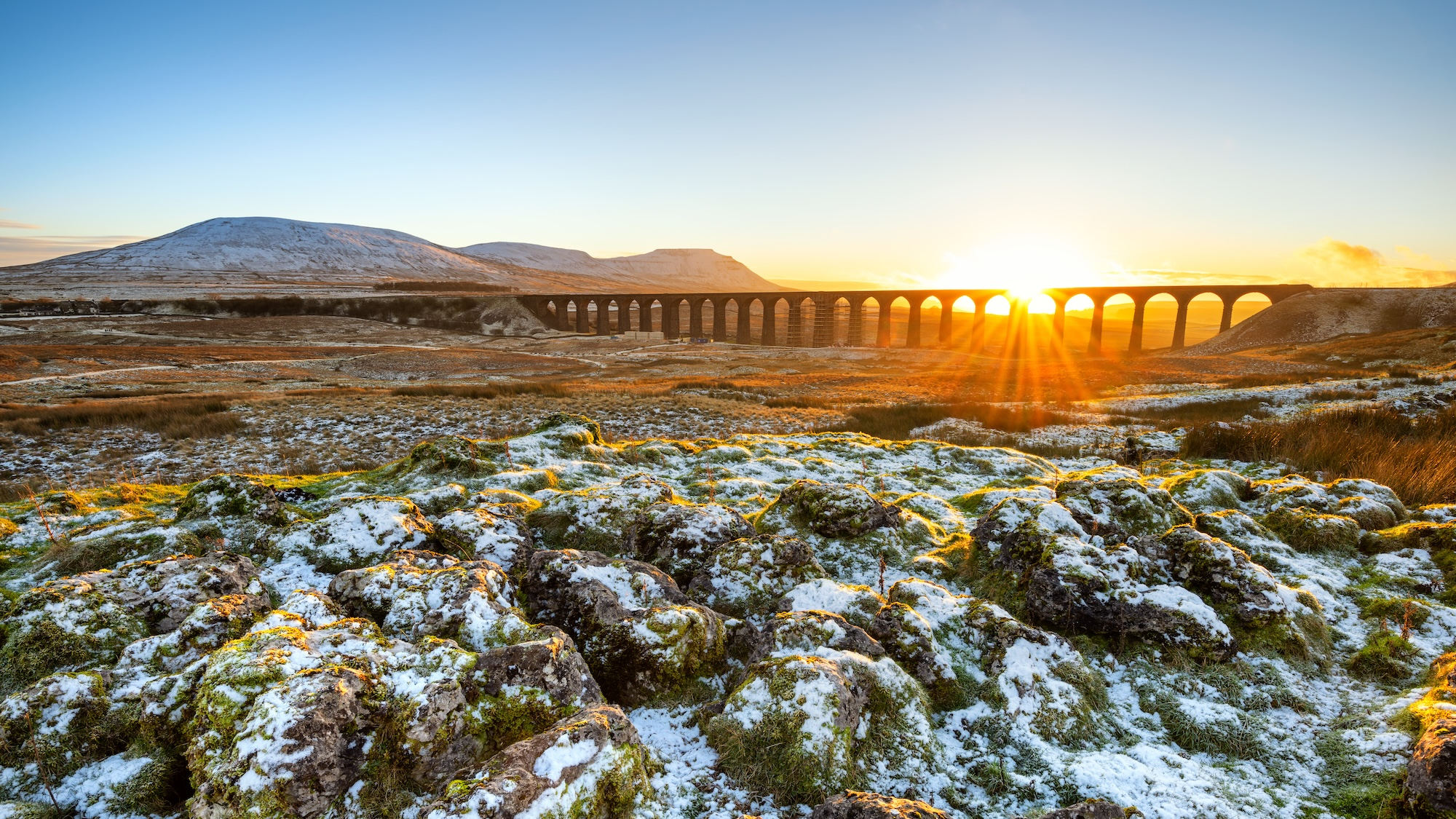
If you’re looking for a challenging winter walk, Whernside will definitely do the job. This is a journey up and down the highest of Yorkshire’s three peaks. It’s a nine-mile route with a climb of 513 metres, so it’s quite the jaunt, offering up dramatic views of the snow-covered Yorkshire Dales National Park.
You start at Dent Station, which is actually just across the border in Cumbria. From here, you’ll pass by the quaint village of Cowgill, where The Sportsman’s Inn is a great spot for lunch. You can soak up incredible vistas across Dentdale as you head along the Dales Way, then Hagg Worm Haw will take you right to the top of Whernside peak – this is the perfect place to pause to take it all in.
The best is yet to come though, as you pass through the impressive Ribblehead Viaduct, and finish at The Station Inn after six hours. Why not warm up with a drink and a bite to eat before you get the train back to Dent Station?
Start point: Dent Station – find it on Google Maps.
Distance: 9 miles.
Route: Check out the route.
The Hutton-le-Hole and Lastingham Circular
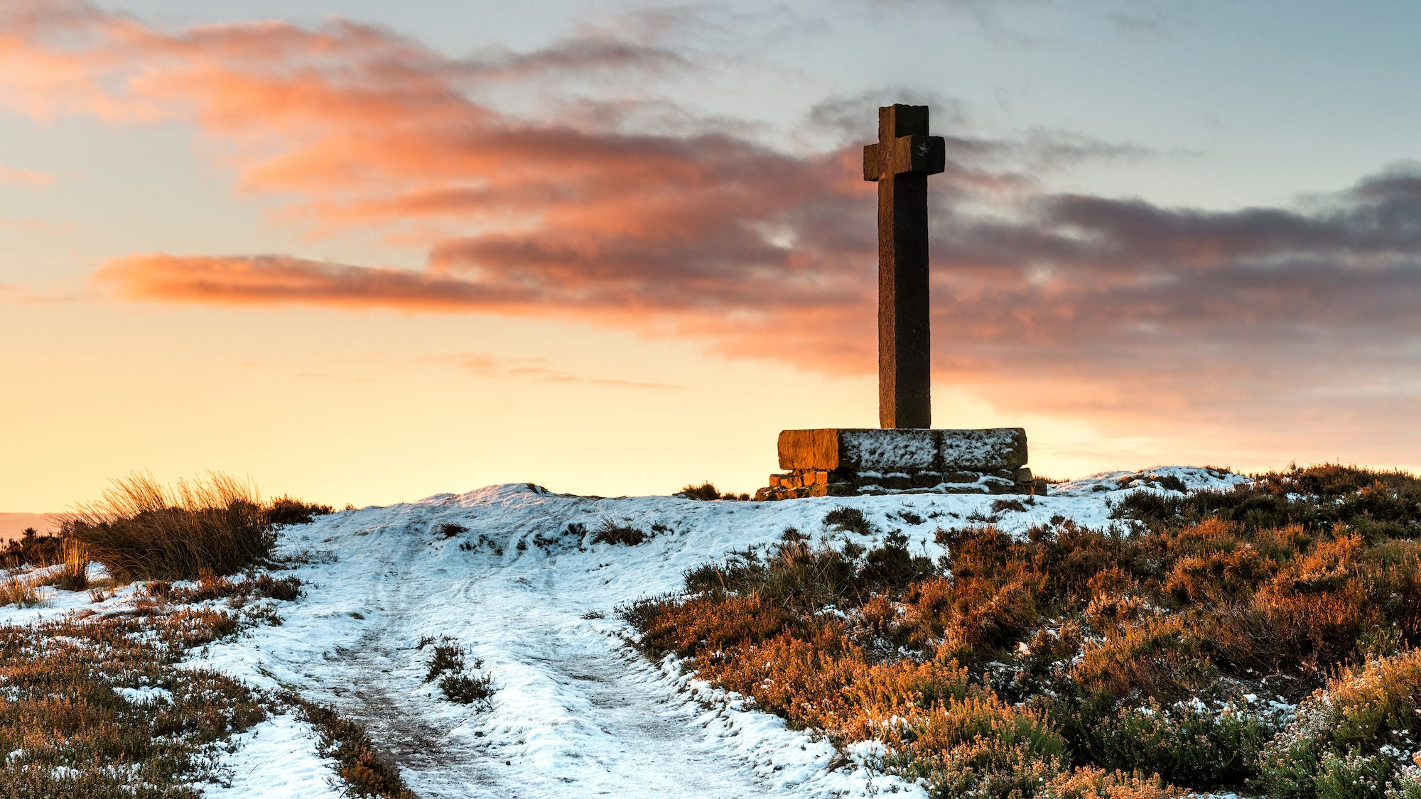
Go for a leisurely winter four-mile ramble that brings the beauty of the North York Moors together with a duo of idyllic villages. Expect a combination of quiet fields, country lanes and moorland tracks that frame incredibly pretty big sky views and snow-covered scenery.
Start in Hutton-le-Hole and head east on the broad grassy paths that lead you through a charming little wood before crossing the moorland path to the historic Mary Magdalene Well on the outskirts of Lastingham. Once you’re in the village, you can visit St Mary’s Church, which is home to a beautiful crypt that dates back to 1078, before stopping for a break in The Blacksmiths Arms.
From here, head back to the start along the Spaunton escarpment where the views open up once more. Before you leave Hutton-le-Hole, take the time to go for a walk around the open-air Ryedale Folk Museum, which is next door to The Crown Inn pub.
Start point: Hutton-le-Hole car park – find it on Google Maps.
Distance: 4 miles.
Route: Check out the route.


